 vesseltracker.com
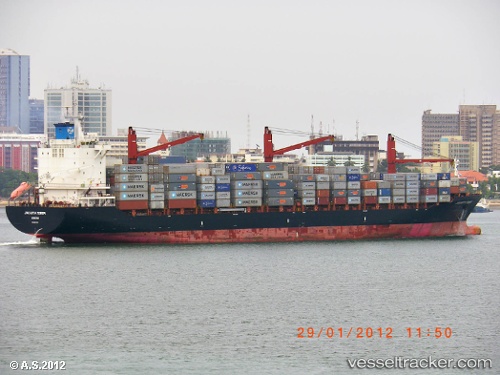
Vessel CMA CGM MOMBASA IMO: 9367815, MMSI: 229750000 Container Ship
UTC, 23.77150, 63.47450, course: 285, speed: 15
UTC, 24.00487, 62.59693, course: 283, speed: 14.6
2026-01-30 15:50:15 UTC, 24.11983, 62.16767, course: 285, speed: 15.3
Live AIS position:
UTC. 109 nm SE of Chabahar),
updated 2026-01-30 15:50:15 UTC.
Find the position of the vessel CMA CGM MOMBASA on the map. The latter are known coordinates and path.
marine traffic ship tracker show on live map
The current position of vessel CMA CGM MOMBASA is 24.11983 lat / 62.16767 lng. Updated: 2026-01-30 15:50:15 UTCCurrently sailing under the flag of Malta
CMA CGM MOMBASA built in 2008 year
Deadweight:
34325 tDetails:
Last coordinates of the vessel:
UTC, 23.49833, 64.44167, course: 286, speed: 14.9UTC, 23.77150, 63.47450, course: 285, speed: 15
UTC, 24.00487, 62.59693, course: 283, speed: 14.6
2026-01-30 15:50:15 UTC, 24.11983, 62.16767, course: 285, speed: 15.3